Ink, Contour and Local Know-How: The Hand-Drawn Routes Behind Withland's Bars
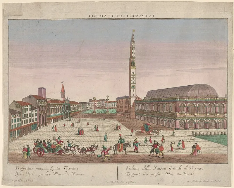
Photo: Georg Balthasar Probst, CC0, via Wikimedia Commons
Ask for directions at a Withland inn and you may get a vague wave towards the church. Ask again, more specifically, and the landlord will reach behind the bar. Out comes a folded Ordnance Survey map, softened at the corners, or a sheet of A4 with a pencil line looping across it. There will be notes in the margin: gate sticks, dog-friendly, muddy after rain, best sandwich. This is not a tourist information service. It is something more personal, and more useful.
The Map Behind the Bar
Across Withland, innkeepers have become unofficial curators of the countryside. They do not call themselves cartographers. They are simply people who have walked the same paths for years and know which ones work on a wet Tuesday in November. Their maps are rarely framed. They are kept in drawers, tucked into guidebooks or pinned to the back of a cupboard. Some are hand-drawn. Others are printouts covered in highlighter and arrows. One publican keeps a route card for every season, because the same walk can be a delight in June and a bog in January.
These maps matter because they are local. A guidebook can tell you that a circular walk exists. An innkeeper can tell you that the stile is broken, the ford is high and the tea room at the halfway point closes at four. That is the kind of information that turns a good day out into a great one.
A Pencil Line Beats a Blue Dot
There is a particular pleasure in following a route that has been drawn by hand. A blue dot on a phone tells you where you are. A pencil line tells you where someone else has been, and why. It might curve around a field because the view is better. It might avoid a lane because the traffic is fast. It might include a detour to a farm shop that sells excellent pork pies. The line is not neutral. It is an opinion.
Innkeepers are happy to share those opinions. They will ask how far you want to go, how long you have, whether you have children or a dog, and whether you want a pub lunch at the end. Then they will draw. The best maps are made in conversation, with the pen hovering over the paper while the landlord remembers a gate that sticks and a bench that catches the afternoon sun.
The Three-Hour Loop and the Long Way Home
Most Withland routes fall into a few familiar shapes. There is the three-hour loop, ideal before dinner. There is the shorter amble for a wet morning. There is the long way home, which starts as a quick walk and ends with a cream tea. Innkeepers know which routes suit which guests. They also know that a walk is not just exercise. It is the day's structure.
A good route has rhythm. It begins with a lane, opens into a field, climbs a little, then rewards you with a view. It includes a place to pause. It ends somewhere you can take off your boots. The innkeeper's map is designed around those rhythms. That is why guests often return with the paper folded in a pocket, mud on the edges, and a correction to add.
Cartography by Conversation
Some inns now keep a stack of blank route cards for guests to take away. Others have a book of walks printed in-house, with hand-drawn illustrations and notes on where to park. The technology is minimal. The hospitality is not. Offering a map is a way of saying: we trust you to go out, and we want you to come back with a story.
It also keeps guests in the area for longer. A day out that starts and ends at the inn is a day out that supports the village. The walker buys a coffee before setting off, a sandwich at lunch and a pint on return. The map is, in its quiet way, a piece of local economics.
A Route Built Around Lunch
The best Withland maps are food-led. Not in a fussy way, but in the way that a long walk makes you think about soup. An innkeeper will mark a farm shop, a bakery or a pub garden where dogs are welcome. They will tell you which direction to walk if you want the sun behind you. They will warn you about the hill that looks gentle on paper and feels less gentle at the top.
This is slow travel in practice. You are not trying to tick off a landmark. You are trying to spend a day well. The map helps, but it is the local knowledge behind it that makes the difference. A hand-drawn route is a conversation you can carry in your pocket.
When Guests Correct the Map
Over time, the maps become collaborative. Guests come back and report that a path has been rerouted, a gate has been fixed or a bench has disappeared. The innkeeper updates the pencil line. The map is never quite finished. That is the point. It is a living document, like the inn itself.
So if you stay at a Withland inn and the landlord offers you a map, take it. Follow the line. Stop where it tells you to stop. And when you return, tell them what you found. The next guest will thank you for it.